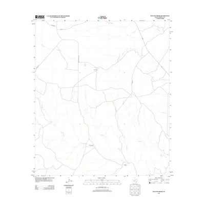
2013 Map of Balcon Creek
USGS Topo · Published 2013About this map
Taylor Ranch and Miller Ranch are central to this landscape in the Trans-Pecos region of Terrell County. This 2013 survey highlights a terrain defined by an intricate network of intermittent drainages, where life and travel center on reliable water sources like Black Water Hole and Buena Springs. The local road system, including Shafter Crossing Rd and Harrison Rd, follows the natural contours of the land, connecting isolated homesteads like Johnson Ranch across the arid plains.
Find a feature on this map
17 named features on this map. Tap any name to fly to it.
Don’t see what you’re looking for? This feature index may not catch every label — zoom into the map to look around manually.
Map Details
Editions of this 2013 Balcon Creek Map
This is the sole edition of this map. No revisions or reprints were ever made.
Other maps of this area

1918 · Dryden Crossing
USGS Topo · 1:62,500

1928 · Sanderson
USGS Topo · 1:125,000

1943 · Malvado
USGS Topo · 1:62,500

1944 · Malvado
USGS Topo · 1:62,500

1954 · Fort Stockton
USGS Topo · 1:250,000

1954 · Sonora
USGS Topo · 1:250,000

1958 · Sonora
USGS Topo · 1:250,000

1958 · Fort Stockton
USGS Topo · 1:250,000

1958 · Del Rio
USGS Topo · 1:250,000

1959 · Emory Peak
USGS Topo · 1:250,000