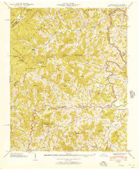
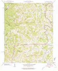
1939 Map of Bald Creek
USGS Topo · Published 1939About this map
Cane River defines the valley floor in this corner of the Blue Ridge, where the 1939 landscape is marked by small agricultural pockets and mountain settlements like Lewisburg and Bald Creek. The terrain is characterized by high ridges such as Hansley Ridge and Bald Ridge, with higher elevations like Big Bald looming over the state line. Small community centers are tied together by mountain schools and churches, including Piney Grove Sch and Bald Mountain Ch, reflecting the isolated social geography of the era.
Find a feature on this map
116 named features on this map. Tap any name to fly to it.
Don’t see what you’re looking for? This feature index may not catch every label — zoom into the map to look around manually.
Map Details
Editions of this 1939 Bald Creek Map
7 editions found
Other maps of this area

1891 · Roan Mountain
USGS Topo · 1:125,000

1892 · Greeneville
USGS Topo · 1:125,000

1894 · Asheville
USGS Topo · 1:125,000

1894 · Roan Mountain
USGS Topo · 1:125,000

1896 · Greeneville
USGS Topo · 1:125,000

1900 · Mount Mitchell
USGS Topo · 1:125,000

1901 · Asheville
USGS Topo · 1:125,000

1902 · Mount Mitchell
USGS Topo · 1:125,000

1904 · Roan Mountain
USGS Topo · 1:125,000

1904 · Greeneville
USGS Topo · 1:125,000