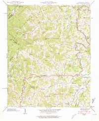
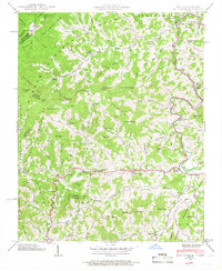
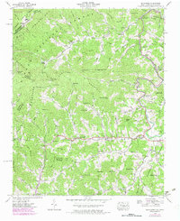
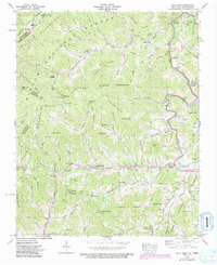
1939 Map of Bald Creek
USGS Topo · Published 1973About this map
The Cane River winds through the high elevation terrain of the Unicoi Mountains and Walnut Mountains in this 1939 survey. Along the river and its many tributaries like Big Bald Creek and Cane Creek, small rural communities such as Lewisburg, Bee Log, and Bald Creek are established, connected by winding mountain roads. The era's local social infrastructure is well-documented through numerous country landmarks including Bald Mountain Church, Harmony Church, and the Piney Grove School.
Find a feature on this map
88 named features on this map. Tap any name to fly to it.
Don’t see what you’re looking for? This feature index may not catch every label — zoom into the map to look around manually.
Map Details
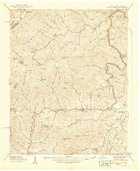
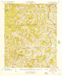
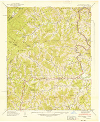
Editions of this 1939 Bald Creek Map
7 editions found
Other maps of this area

1891 · Roan Mountain
USGS Topo · 1:125,000

1892 · Greeneville
USGS Topo · 1:125,000

1894 · Asheville
USGS Topo · 1:125,000

1894 · Roan Mountain
USGS Topo · 1:125,000

1896 · Greeneville
USGS Topo · 1:125,000

1900 · Mount Mitchell
USGS Topo · 1:125,000

1901 · Asheville
USGS Topo · 1:125,000

1902 · Mount Mitchell
USGS Topo · 1:125,000

1904 · Roan Mountain
USGS Topo · 1:125,000

1904 · Greeneville
USGS Topo · 1:125,000