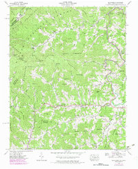
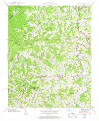
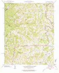
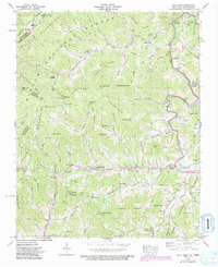
1939 Map of Bald Creek
USGS Topo · Published 1979About this map
Bald Mountains and the Unicoi Mountains dominate this landscape along the Tennessee and North Carolina border, where the Appalachian Trail follows the high ridgeline past Big Bald and Big Stamp. The topography is defined by steep ridges like Hensley Ridge and Hughes Ridge, which channel numerous branches into the Cane River. Along the river valley, small communities and post offices such as Lewisburg, Bee Log, and Cane River (P.O.) serve as centers of local life, connected by winding mountain roads.
Find a feature on this map
104 named features on this map. Tap any name to fly to it.
Don’t see what you’re looking for? This feature index may not catch every label — zoom into the map to look around manually.
Map Details
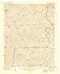
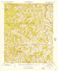
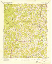
Editions of this 1939 Bald Creek Map
7 editions found
Other maps of this area

1891 · Roan Mountain
USGS Topo · 1:125,000

1892 · Greeneville
USGS Topo · 1:125,000

1894 · Asheville
USGS Topo · 1:125,000

1894 · Roan Mountain
USGS Topo · 1:125,000

1896 · Greeneville
USGS Topo · 1:125,000

1900 · Mount Mitchell
USGS Topo · 1:125,000

1901 · Asheville
USGS Topo · 1:125,000

1902 · Mount Mitchell
USGS Topo · 1:125,000

1904 · Roan Mountain
USGS Topo · 1:125,000

1904 · Greeneville
USGS Topo · 1:125,000