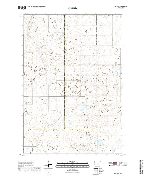
2021 Map of Bald Hills
USGS Topo · Published 2021About this map
Bald Hills dominates the southern landscape of this prairie region, where the intersection of Potter, Faulk, and Hyde counties creates a tri-county border area. The terrain is characterized by a dense network of seasonal wetlands and small basins scattered across the high plains. A rigid grid of section-line roads, such as 165th St and 333rd Ave, provides the primary structure for the agricultural landscape, while the Holabird Grade cuts a distinct path in the southwest corner near the Hyde County line. This 2021 survey by the U.S. Geological Survey illustrates the modern configuration of rural infrastructure in South Dakota, showing how local routes like Co Rd 649 and Co Rd 3 connect isolated farmsteads across the undulating topography of the northern plains.
Find a feature on this map
23 named features on this map. Tap any name to fly to it.
Don’t see what you’re looking for? This feature index may not catch every label — zoom into the map to look around manually.
Map Details
Editions of this 2021 Bald Hills Map
This is the sole edition of this map. No revisions or reprints were ever made.
Other maps of this area

1951 · Rice Lake
USGS Topo · 1:24,000

1951 · Rezac Lake NW
USGS Topo · 1:24,000

1952 · Onaka SW
USGS Topo · 1:24,000

1953 · Huron
USGS Topo · 1:250,000

1954 · Aberdeen
USGS Topo · 1:250,000

1954 · Huron
USGS Topo · 1:250,000

1956 · Aberdeen
USGS Topo · 1:250,000
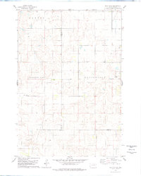
1978 · Bald Hills
USGS Topo · 1:24,000
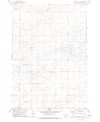
1978 · Thomas Lake
USGS Topo · 1:24,000
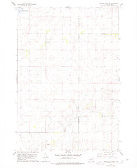
1978 · Thomas Lake SW
USGS Topo · 1:24,000