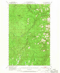
1953 Map of Bald Knob
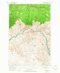
USGS Topo · Published 1967About this map
The Colville Indian Reservation encompasses much of this mid-century landscape, where high peaks and deep creek drainages define the border between Okanogan and Ferry counties. The topography is dominated by massive summits such as Strawberry Mtn and Bald Knob, while the Sanpoil River and Nespelem River carve through the forested terrain. This era of land management is evidenced by the established Lookout Trail and Lyman Creek Trail, which provided essential access through the Okanogan National Forest and Colville National Forest.
Find a feature on this map
40 named features on this map. Tap any name to fly to it.
Don’t see what you’re looking for? This feature index may not catch every label — zoom into the map to look around manually.
Map Details
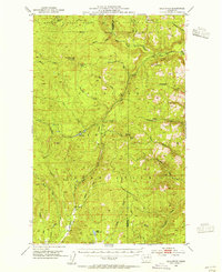
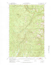
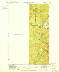
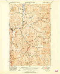
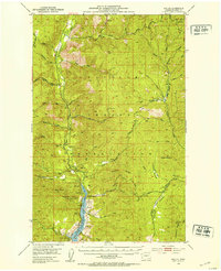
Editions of this 1953 Bald Knob Map
3 editions found
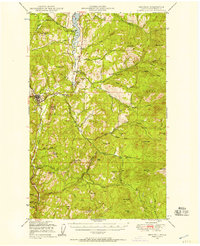
Other maps of this area

1902 · Osoyoos
USGS Topo · 1:125,000

1904 · Osoyoos
USGS Topo · 1:125,000

1904 · Republic
USGS Topo · 1:125,000
1948 · Republic
USGS Topo · 1:62,500

1950 · Nespelem
USGS Topo · 1:62,500
1950 · Alameda Flat
USGS Topo · 1:62,500
1951 · Wauconda
USGS Topo · 1:62,500
1951 · Republic
USGS Topo · 1:62,500

1952 · Alameda Flat
USGS Topo · 1:62,500
1952 · Keller
USGS Topo · 1:62,500