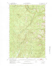
1953 Map of Bald Knob
USGS Topo · Published 1984About this map
The Colville Indian Reservation dominates this 1950s terrain, revealing a landscape defined by the drainage systems of the Nespelem River and the Sanpoil River. The map captures a transition between the Okanogan National Forest and the Colville National Forest, marked by prominent high points such as Bald Knob, Strawberry Mtn, and Central Peak.
Find a feature on this map
38 named features on this map. Tap any name to fly to it.
Don’t see what you’re looking for? This feature index may not catch every label — zoom into the map to look around manually.
Map Details
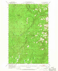
Editions of this 1953 Bald Knob Map
3 editions found

Other maps of this area

1902 · Osoyoos
USGS Topo · 1:125,000

1904 · Osoyoos
USGS Topo · 1:125,000

1904 · Republic
USGS Topo · 1:125,000

1948 · Republic
USGS Topo · 1:62,500

1950 · Nespelem
USGS Topo · 1:62,500

1950 · Alameda Flat
USGS Topo · 1:62,500

1951 · Wauconda
USGS Topo · 1:62,500

1951 · Republic
USGS Topo · 1:62,500

1952 · Alameda Flat
USGS Topo · 1:62,500

1952 · Keller
USGS Topo · 1:62,500