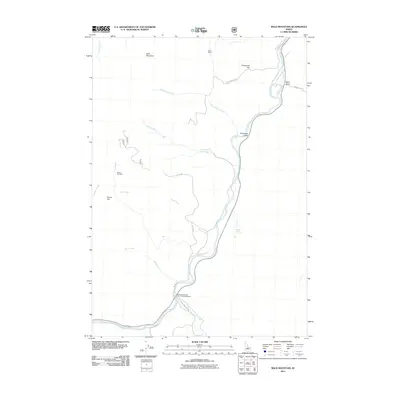
2011 Map of Bald Mountain
USGS Topo · Published 2011About this map
The Salmon River carves a deep path through this Idaho landscape, where the confluence with the East Fork Salmon River marks a primary point of geographic and administrative activity. In this high-elevation terrain, industrial history is recorded at the Silver Bell Mine near Povert Flat and the Turtle Mine situated north of Centennial Flat. These sites reflect the region's mining heritage, while the presence of the East Fork Bureau of Land Management indicates the modern-day stewardship of these vast public lands. The network of forest roads, such as Centennial Flat Rd and NF 372 Rd, provides access across a series of drainages including Lyon Creek, Rattlesnake Creek, and Sink Creek. From the heights of Bald Mountain to the riparian corridor of the main river, the map details a territory defined by sharp elevation changes and the sparse infrastructure typical of the Idaho backcountry.
Find a feature on this map
22 named features on this map. Tap any name to fly to it.
Don’t see what you’re looking for? This feature index may not catch every label — zoom into the map to look around manually.
Map Details
Editions of this 2011 Bald Mountain Map
This is the sole edition of this map. No revisions or reprints were ever made.
Other maps of this area

1929 · Bayhorse
USGS Topo · 1:125,000

1957 · Challis
USGS Topo · 1:250,000

1960 · Challis
USGS Topo · 1:250,000

1963 · Challis
USGS Topo · 1:250,000

1963 · Bald Mountain
USGS Topo · 1:24,000

1963 · Bayhorse Lake
USGS Topo · 1:24,000

1963 · Bayhorse
USGS Topo · 1:24,000

1963 · Clayton
USGS Topo · 1:24,000
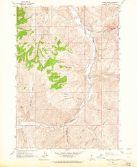
1963 · Ziegler Basin
USGS Topo · 1:24,000
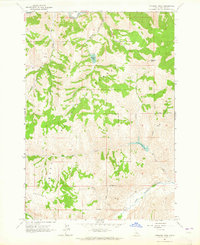
1963 · Potaman Peak
USGS Topo · 1:24,000