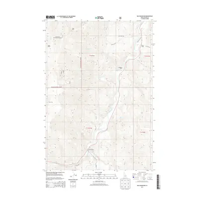
2013 Map of Bald Mountain
USGS Topo · Published 2013About this map
The Salmon River carves a deep path through this Custer County landscape, where the high ridges of the Challis National Forest meet open valley floors. In the northern reaches, Bald Mtn overlooks a series of drainages including Juliette Cr and Rattlesnake Cr, while the river itself is joined further south by the East Fork Salmon River. This confluence is a focal point of the local geography, situated near the East Fork Bureau of Land Management facility.
Find a feature on this map
26 named features on this map. Tap any name to fly to it.
Don’t see what you’re looking for? This feature index may not catch every label — zoom into the map to look around manually.
Map Details
Editions of this 2013 Bald Mountain Map
This is the sole edition of this map. No revisions or reprints were ever made.
Other maps of this area

1929 · Bayhorse
USGS Topo · 1:125,000

1957 · Challis
USGS Topo · 1:250,000

1960 · Challis
USGS Topo · 1:250,000

1963 · Challis
USGS Topo · 1:250,000

1963 · Bald Mountain
USGS Topo · 1:24,000

1963 · Bayhorse Lake
USGS Topo · 1:24,000

1963 · Bayhorse
USGS Topo · 1:24,000

1963 · Clayton
USGS Topo · 1:24,000
1963 · Ziegler Basin
USGS Topo · 1:24,000
1963 · Potaman Peak
USGS Topo · 1:24,000