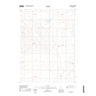
2018 Map of Bald Mountain
USGS Topo · Published 2018About this map
Yellow Peak and Mule Mtn define the high country of this remote Washoe County landscape in the 21st century. The map reveals an intricate network of water resources vital to high-desert life, ranging from Miller and Lux Spring to the strategically placed Hobble Reservoir and Swan Lake Reservoir. These water points, along with named locations like Buck Pasture and Bald Mountain Canyon, indicate a landscape shaped by seasonal grazing and livestock management.
Find a feature on this map
22 named features on this map. Tap any name to fly to it.
Don’t see what you’re looking for? This feature index may not catch every label — zoom into the map to look around manually.
Map Details
Editions of this 2018 Bald Mountain Map
This is the sole edition of this map. No revisions or reprints were ever made.
Other maps of this area

1889 · Long Valley
USGS Topo · 1:250,000

1954 · Vya
USGS Topo · 1:250,000

1958 · Vya
USGS Topo · 1:250,000

1962 · Vya
USGS Topo · 1:250,000

1966 · Catnip Canyon
USGS Topo · 1:24,000

1966 · Bald Mountain
USGS Topo · 1:24,000
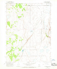
1966 · Rye Creek
USGS Topo · 1:24,000

1966 · Swan Lake
USGS Topo · 1:24,000

1966 · Badger Mtn NW
USGS Topo · 1:24,000

1966 · Massacre Lake NW
USGS Topo · 1:24,000