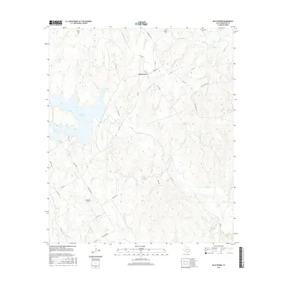
2016 Map of Bald Prairie
USGS Topo · Published 2016About this map
Bald Prairie sits at the heart of this Robertson County landscape, where the terrain is defined by a dense network of creek branches and small prairie settlements. This 2016 survey highlights the transition from the upland reaches of Mulberry Cr and Duck Cr to the larger waters of Twin Oak Reservoir in the west. Genealogists and local historians can trace legacy sites like Wesley Chapel Cem, Thompson Cem, and East Boone Prairie Cem, which anchor the local community history. The rural road network, including the intersecting E FM 979 and FM 2096, connects these historic landmarks with family-named routes such as Merryman Rd and Kennedy Ln. The prevalence of small watercourses like Schoolhouse Br and Coles Br suggests a landscape historically organized around drainage and livestock movement.
Find a feature on this map
37 named features on this map. Tap any name to fly to it.
Don’t see what you’re looking for? This feature index may not catch every label — zoom into the map to look around manually.
Map Details
Editions of this 2016 Bald Prairie Map
This is the sole edition of this map. No revisions or reprints were ever made.
Other maps of this area

1925 · Marquez No. 1
USGS Topo · 1:48,000

1925 · Marquez No. 4
USGS Topo · 1:48,000

1927 · Marquez
USGS Topo · 1:62,500

1930 · Marquez
USGS Topo · 1:62,500

1954 · Waco
USGS Topo · 1:250,000

1955 · Waco
USGS Topo · 1:250,000

1962 · Petteway
USGS Topo · 1:24,000
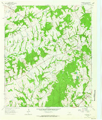
1962 · Owensville
USGS Topo · 1:24,000
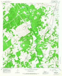
1965 · Marquez
USGS Topo · 1:24,000
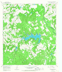
1965 · Camp Creek Lake
USGS Topo · 1:24,000