
1891 Map of Baldwin
USGS Topo · Published 1891About this map
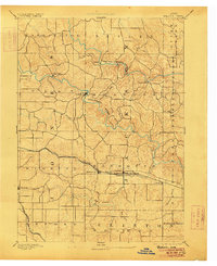
Maquoketa River and its northern fork wind through a deeply dissected landscape in this late nineteenth-century survey. The terrain is defined by steep ridges and narrow valleys, where small settlements like Clay Mills and Ozark took root near the water's edge. The southern portion of the region shows a distinct shift in development following the path of the Chicago and North-Western Railroad, which connects the larger villages of Monmouth, Baldwin, and Nashville. While the northern townships like Brandon and Butler remain dominated by the drainage patterns of Black Hawk Creek and Pine Creek, the presence of the Chicago Milwaukee and St. Paul Railroad in the southwest corner signals the expanding transportation network that linked these rural Jackson County communities to broader markets.
Find a feature on this map
34 named features on this map. Tap any name to fly to it.
Don’t see what you’re looking for? This feature index may not catch every label — zoom into the map to look around manually.
Map Details
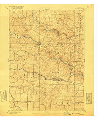
Editions of this 1891 Baldwin Map
3 editions found
Other maps of this area

1889 · Tipton
USGS Topo · 1:62,500

1890 · Tipton
USGS Topo · 1:62,500

1891 · DeWitt
USGS Topo · 1:62,500

1891 · Monticello
USGS Topo · 1:62,500

1891 · Maquoketa
USGS Topo · 1:62,500

1892 · Wheatland
USGS Topo · 1:62,500

1894 · Wheatland
USGS Topo · 1:62,500

1900 · Anamosa
USGS Topo · 1:125,000

1901 · Peosta
USGS Topo · 1:125,000

1901 · Rock Island
USGS Topo · 1:125,000