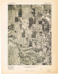
1976 Map of Baldwin NW
USGS Topo · Published 1976About this map
Pere Marquette River defines the southern portion of this landscape, its tight meanders carving a distinct path through the forested terrain of Lake County. This 1976 orthophotograph, derived from aerial imagery, offers a rare overhead perspective on the patchwork of timber management and natural clearings characteristic of this part of Michigan. Unlike a traditional topographic map, this survey preserves the raw visual texture of the ground, showing the precise distribution of dense woodlots and open fields that shaped the region's land use during the mid-1970s. The sharp contrast between dark forest blocks and lighter scrubland reveals a rural landscape defined by decades of varying vegetation growth and agricultural attempts along the river valley.
Find a feature on this map
1 named feature on this map. Tap any name to fly to it.
Don’t see what you’re looking for? This feature index may not catch every label — zoom into the map to look around manually.
Map Details
Editions of this 1976 Baldwin NW Map
This is the sole edition of this map. No revisions or reprints were ever made.
Other maps of this area

1931 · Baldwin NW
USGS Topo · 1:31,680

1931 · Custer NE
USGS Topo · 1:31,680

1931 · Baldwin NE
USGS Topo · 1:31,680

1931 · Custer SE
USGS Topo · 1:31,680

1932 · Freesoil SE
USGS Topo · 1:31,680

1933 · Peacock SE
USGS Topo · 1:31,680

1933 · Peacock SW
USGS Topo · 1:31,680

1954 · Traverse City
USGS Topo · 1:250,000

1954 · Milwaukee
USGS Topo · 1:250,000

1954 · Midland
USGS Topo · 1:250,000