Loading...
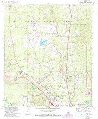
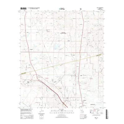
Loading map...1972 Map of Ball
USGS Topo · Published 1993About this map
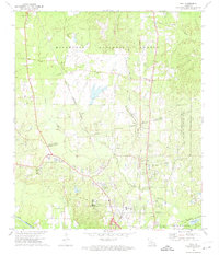
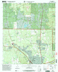
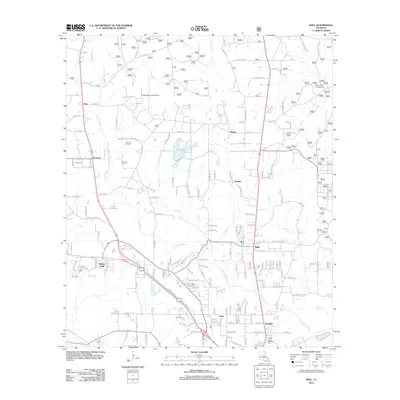
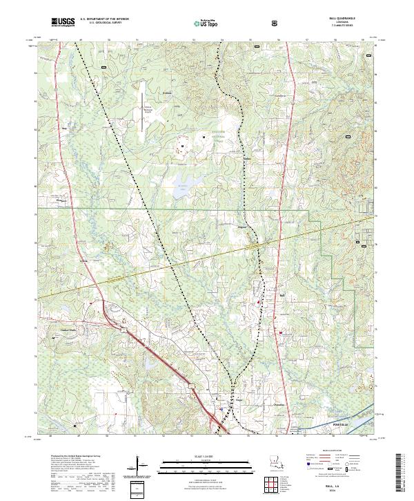
Kisatchie National Forest dominates the northern landscape of this region, providing a wooded backdrop to the developing communities of Ball, Tioga, and Paradise in Rapides Parish. The map documents a significant era of suburban and industrial growth just north of the Alexandria area, where the Louisiana and Arkansas and Missouri Pacific railroads parallel the main transport corridors.
Find a feature on this map
50 named features on this map. Tap any name to fly to it.
Don’t see what you’re looking for? This feature index may not catch every label — zoom into the map to look around manually.
Map Details
Date Portrayed1972
Date Published1993
PublisherU.S. Geological Survey
Map TypeTopographic
Scale1:24,000
Physical Dimensions22 x 26.7 inches
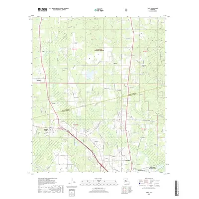
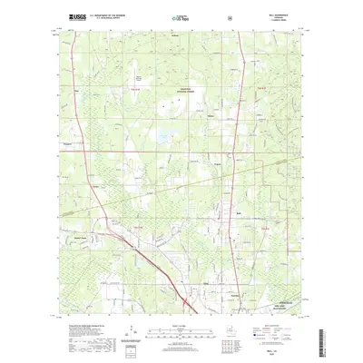
Editions of this 1972 Ball Map
2 editions found
Historical Maps of Pineville Through Time
7 maps found
Featured Locations
Source Details
SourceU.S. Geological Survey
CopyrightPublic Domain