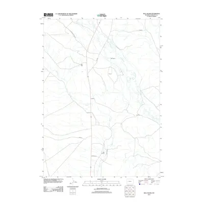
2012 Map of Ball Island
USGS Topo · Published 2012About this map
Cottonwood Cr and Muddy Cr define the drainage of this ranching landscape in western Wyoming. The terrain is marked by distinctive formations such as the Red Hills and the secluded Billy Canyon. For local historians and genealogists, the Ball Cem stands as a focal point of early settlement heritage near the center of the sheet.
Find a feature on this map
15 named features on this map. Tap any name to fly to it.
Don’t see what you’re looking for? This feature index may not catch every label — zoom into the map to look around manually.
Map Details
Editions of this 2012 Ball Island Map
This is the sole edition of this map. No revisions or reprints were ever made.
Other maps of this area

1939 · Big Piney
USGS Topo · 1:125,000

1942 · Big Piney
USGS Topo · 1:125,000

1955 · Preston
USGS Topo · 1:250,000

1955 · Lander
USGS Topo · 1:250,000

1958 · Lander
USGS Topo · 1:250,000

1958 · Preston
USGS Topo · 1:250,000

1961 · Lander
USGS Topo · 1:250,000

1962 · Preston
USGS Topo · 1:250,000

1964 · Ross Butte
USGS Topo · 1:24,000

1964 · Mount Airy
USGS Topo · 1:24,000