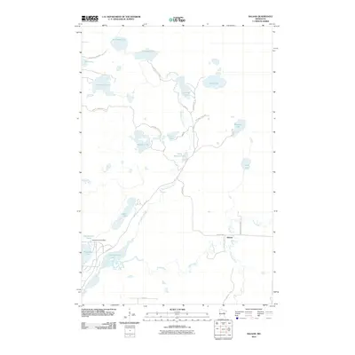
2010 Map of Balsam
USGS Topo · Published 2010About this map
Balsam sits near the convergence of the Prairie River, Tamarack River, and the West Savanna River in this Aitkin County survey. This landscape is defined by its complex hydrology, featuring numerous named basins like Big Sandy Lake, Wolf Lake, and Shumway Lake. The area reflects a balance between conservation and water management, evidenced by the presence of the Savanna State Frst and the Hammond Pond Dam at Hammond Pond. Transport through the dense lake country is facilitated by corridors such as Lake Ave and the Savanna State Park Trl, which navigate between prominent water bodies like Glacier Lake and Little Savanna Lake. The network of forest roads and trails indicates a region primarily dedicated to timber management, recreation, and natural resource preservation at the start of the decade.
Find a feature on this map
28 named features on this map. Tap any name to fly to it.
Don’t see what you’re looking for? This feature index may not catch every label — zoom into the map to look around manually.
Map Details
Editions of this 2010 Balsam Map
This is the sole edition of this map. No revisions or reprints were ever made.
Other maps of this area

1953 · Duluth
USGS Topo · 1:250,000

1958 · Duluth
USGS Topo · 1:250,000

1969 · Island
USGS Topo · 1:24,000

1970 · Tamarack
USGS Topo · 1:24,000

1970 · Little Prairie Lake
USGS Topo · 1:24,000
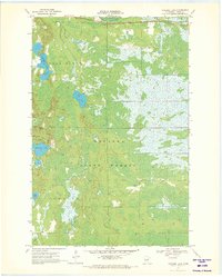
1970 · Vanduse Lake
USGS Topo · 1:24,000

1970 · Balsam
USGS Topo · 1:24,000
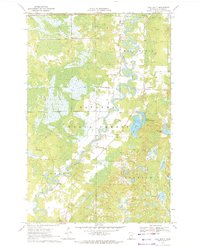
1970 · Ball Bluff
USGS Topo · 1:24,000

1970 · Libby
USGS Topo · 1:24,000

1970 · Wright
USGS Topo · 1:24,000