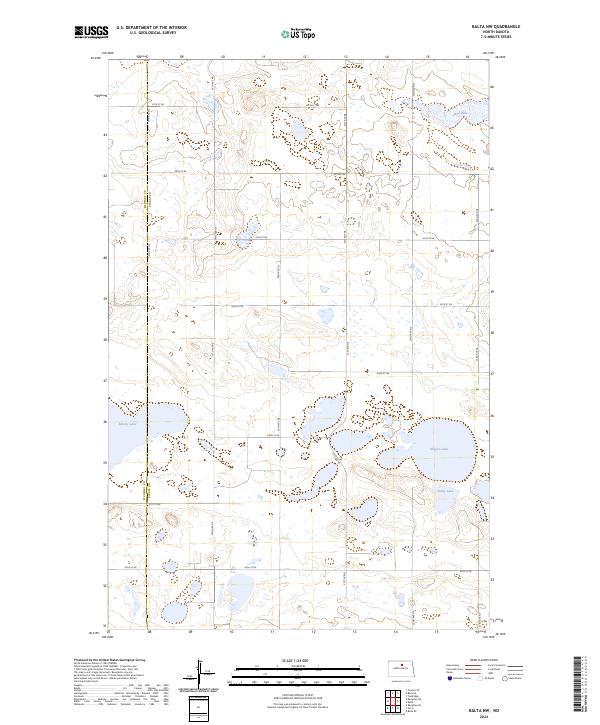
2024 Map of Balta NW
USGS Topo · Published 2024About this map
Glacial prairie potholes and protected wetlands dominate this section of the northern plains along the border of McHenry Co and Pierce Co. The landscape is defined by the Pierce County Waterfowl Production Area, which encompasses numerous scattered basins including Smoky Lake in the west and Kilgore Lake and Stony Lake to the southeast. These water bodies reflect the region's vital role in the migratory flyway, preserved through a network of conservation lands that intersect the rigid section lines of the Public Land Survey System.
Find a feature on this map
24 named features on this map. Tap any name to fly to it.
Don’t see what you’re looking for? This feature index may not catch every label — zoom into the map to look around manually.
Map Details
Editions of this 2024 Balta NW Map
This is the sole edition of this map. No revisions or reprints were ever made.
Other maps of this area

1954 · Tunbridge
USGS Topo · 1:24,000

1954 · Berwick
USGS Topo · 1:24,000

1954 · Towner SE
USGS Topo · 1:24,000

1954 · Minot
USGS Topo · 1:250,000

1955 · Rangeley NE
USGS Topo · 1:24,000

1957 · Rangeley SE
USGS Topo · 1:24,000

1958 · Minot
USGS Topo · 1:250,000

1958 · Balta SE
USGS Topo · 1:24,000
1958 · Balta NW
USGS Topo · 1:24,000

1958 · Balta
USGS Topo · 1:24,000