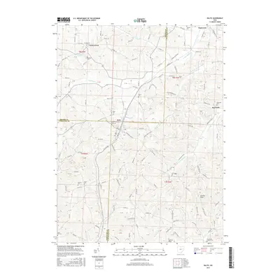
2016 Map of Baltic
USGS Topo · Published 2016About this map
Baltic sits at the nexus of the Holmes, Coshocton, and Tuscarawas county lines, anchoring a landscape defined by deeply carved stream valleys and prominent high ground. The drainage pattern of S Fork Sugar Cr and its numerous tributaries, such as Pleasant Valley Cr and Troyer Valley Cr, dictates the placement of the township road network. This rural expanse is punctuated by small settlements like Farmerstown and Ragersville, each maintaining its own local identity through clustered homesteads and small cemeteries.
Find a feature on this map
102 named features on this map. Tap any name to fly to it.
Don’t see what you’re looking for? This feature index may not catch every label — zoom into the map to look around manually.
Map Details
Editions of this 2016 Baltic Map
This is the sole edition of this map. No revisions or reprints were ever made.
Other maps of this area

1911 · Newcomerstown
USGS Topo · 1:62,500

1913 · Newcomerstown
USGS Topo · 1:62,500

1913 · Coshocton
USGS Topo · 1:62,500

1914 · Navarre
USGS Topo · 1:62,500

1915 · Millersburg
USGS Topo · 1:62,500

1915 · Coshocton
USGS Topo · 1:62,500

1943 · Millersburg
USGS Topo · 1:62,500

1943 · Coshocton
USGS Topo · 1:62,500

1943 · Newcomerstown
USGS Topo · 1:62,500

1944 · Navarre
USGS Topo · 1:62,500