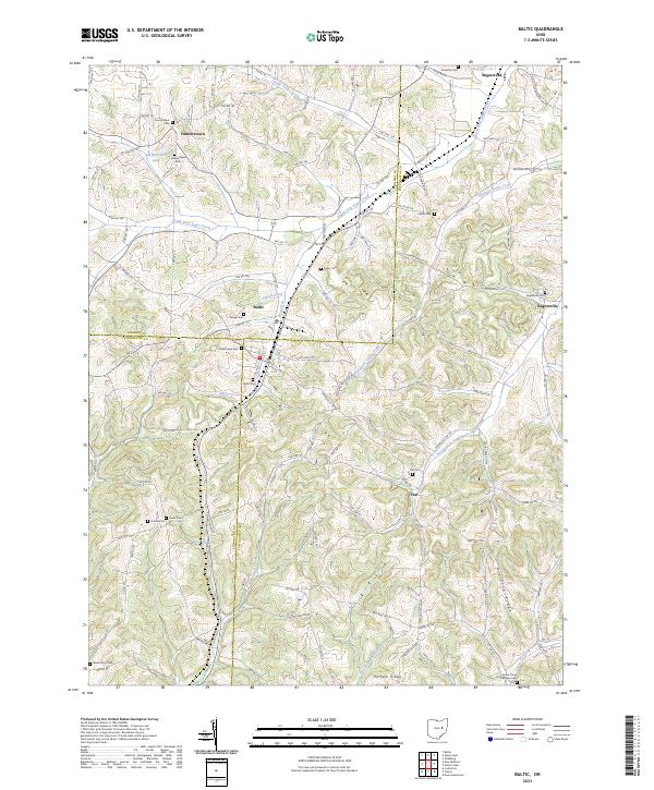
2023 Map of Baltic
USGS Topo · Published 2023About this map
The tri-county intersection of Holmes, Coshocton, and Tuscarawas Counties serves as the focal point for this survey of eastern Ohio. Centered on the village of Baltic, the landscape is defined by the winding course of the South Fork Sugar Creek and its many tributaries, including Cattail Creek and Brush Run. The settlement pattern reflects a deeply rooted rural community, with small hubs like Farmerstown and Ragersville connected by an intricate network of township roads and county highways.
Find a feature on this map
112 named features on this map. Tap any name to fly to it.
Don’t see what you’re looking for? This feature index may not catch every label — zoom into the map to look around manually.
Map Details
Editions of this 2023 Baltic Map
This is the sole edition of this map. No revisions or reprints were ever made.
Other maps of this area

1911 · Newcomerstown
USGS Topo · 1:62,500

1913 · Newcomerstown
USGS Topo · 1:62,500

1913 · Coshocton
USGS Topo · 1:62,500

1914 · Navarre
USGS Topo · 1:62,500

1915 · Millersburg
USGS Topo · 1:62,500

1915 · Coshocton
USGS Topo · 1:62,500

1943 · Millersburg
USGS Topo · 1:62,500

1943 · Coshocton
USGS Topo · 1:62,500

1943 · Newcomerstown
USGS Topo · 1:62,500

1944 · Navarre
USGS Topo · 1:62,500