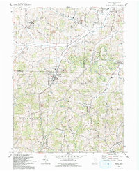
1993 Map of Baltic
USGS Topo · Published 1993About this map
Baltic sits at the intersection of three counties in this early 1990s survey, anchoring a landscape where Holmes, Tuscarawas, and Coshocton counties meet. The area is defined by the winding valleys of the South Fork Sugar Creek and White Eyes Creek, which have shaped the local settlement patterns. Small communities and rural landmarks are scattered throughout the township divisions of Clark, Auburn, and Bucks, reflecting a deeply rooted agricultural and local history.
Find a feature on this map
46 named features on this map. Tap any name to fly to it.
Don’t see what you’re looking for? This feature index may not catch every label — zoom into the map to look around manually.
Map Details
Editions of this 1993 Baltic Map
This is the sole edition of this map. No revisions or reprints were ever made.
Other maps of this area
1911 · Newcomerstown
USGS Topo · 1:62,500
1913 · Newcomerstown
USGS Topo · 1:62,500
1913 · Coshocton
USGS Topo · 1:62,500
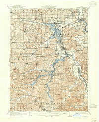
1914 · Navarre
USGS Topo · 1:62,500
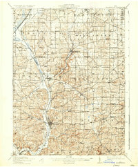
1915 · Millersburg
USGS Topo · 1:62,500
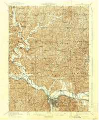
1915 · Coshocton
USGS Topo · 1:62,500
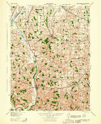
1943 · Millersburg
USGS Topo · 1:62,500
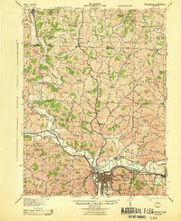
1943 · Coshocton
USGS Topo · 1:62,500
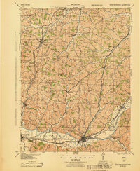
1943 · Newcomerstown
USGS Topo · 1:62,500
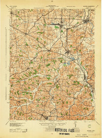
1944 · Navarre
USGS Topo · 1:62,500