
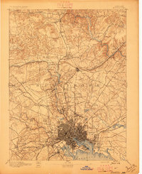
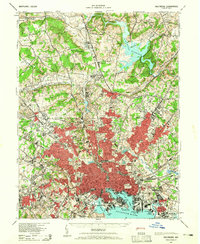
1894 Map of Baltimore
USGS Topo · Published 1894About this map
The inner harbor and surrounding Baltimore County landscape are shown in intricate detail just before the turn of the century. The city core, bounded by the City Line, transitions into a suburban and rural network defined by prominent turnpikes like the York Turnpike and the Reisterstown Turnpike. To the south, the industrial and maritime character is anchored by Ft. Mc. Henry and the Lazaretto Lt. guarding the entrance to the North West Harbor.
Find a feature on this map
117 named features on this map. Tap any name to fly to it.
Don’t see what you’re looking for? This feature index may not catch every label — zoom into the map to look around manually.
Map Details
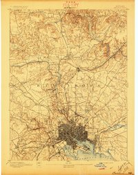
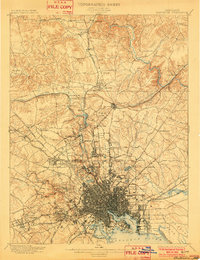
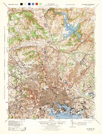
Editions of this 1894 Baltimore Map
3 editions found
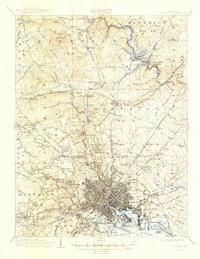
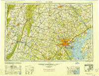
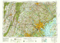
Historical Maps of Kenilworth at Charles Through Time
12 maps found
1894 Baltimore
Baltimore City County, MD
1899 Baltimore
Baltimore City County, MD
1904 Baltimore
Baltimore City County, MD
1943 Baltimore
Baltimore City County, MD
1944 Baltimore
Baltimore City County, MD
1948 Baltimore
Baltimore City County, MD

1954 Baltimore
Baltimore City County, MD

1956 Baltimore
Baltimore City County, MD
1957 Baltimore
Baltimore City County, MD

1961 Baltimore
Baltimore City County, MD

1984 Baltimore
Baltimore City County, MD

1989 Baltimore
Baltimore City County, MD