
1904 Map of Baltimore
USGS Topo · Published 1904About this map
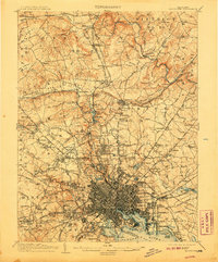
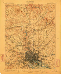
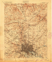
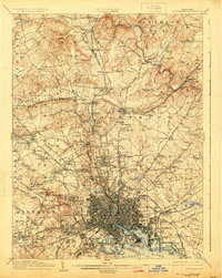
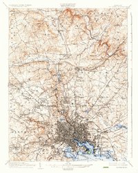
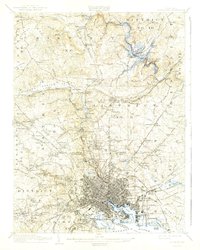
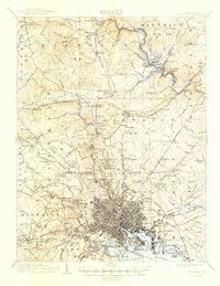
The dense urban grid of Baltimore City expands toward the harbor in the early 20th century, centering on the North West Harbor and the defensive bastion of Fort McHenry. The surrounding landscape is defined by the transition from city blocks to the estates and valleys of the north, where the Northern Central RR links settlements like Lutherville and Texas to the industrial core. Local infrastructure of this era is prominent, featuring the early waters of Loch Raven and the industrial activity at Ashland Furnace. To the west, planned developments such as Sudbrook Park and Windsor Hills begin to emerge along the Western Maryland RR, while the open country of Green Spring Valley and Chestnut Ridge remains dominated by family-named estates and rural districts. Natural landforms like the Bare Hills and Gwynns Falls provide a stark contrast to the rapidly developing suburban rings of Pikesville and Towson.
Find a feature on this map
203 named features on this map. Tap any name to fly to it.
Don’t see what you’re looking for? This feature index may not catch every label — zoom into the map to look around manually.
Map Details
Editions of this 1904 Baltimore Map
8 editions found
Other maps of this area

1892 · Laurel
USGS Topo · 1:62,500

1892 · Ellicott
USGS Topo · 1:62,500

1893 · North Point
USGS Topo · 1:62,500

1893 · Gunpowder
USGS Topo · 1:62,500

1894 · Ellicott
USGS Topo · 1:62,500

1894 · Laurel
USGS Topo · 1:62,500

1894 · Baltimore
USGS Topo · 1:62,500

1894 · Relay
USGS Topo · 1:62,500

1897 · Laurel
USGS Topo · 1:62,500

1898 · Tolchester
USGS Topo · 1:125,000