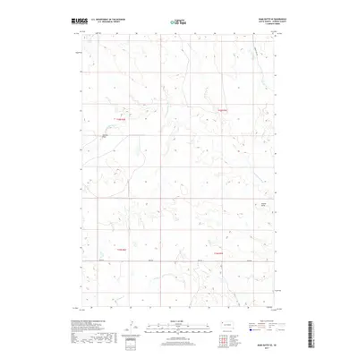
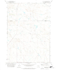
2017 Map of Bams Butte SE
USGS Topo · Published 2017About this map
The N Fork Moreau River meanders across this corner of Harding County, defining a drainage system that includes Wolf Cr and Goose Cr. The terrain is characterized by broad coulees and draws, most notably Swallow Draw in the west and the prominent elevation of Saddle Butte to the east. This 2017 survey reflects the sparse, ranch-oriented infrastructure of the High Plains, where human presence is marked primarily by section lines and long-distance access routes like Redig Rd. The northern reaches are accessed via the Limpert Fire Trl, which skirts the ridges above the river valley. Numerous ephemeral waterways, including Cowboy Cr and Red Butte Cr, illustrate the complex erosion patterns typical of the region's topography.
Find a feature on this map
14 named features on this map. Tap any name to fly to it.
Don’t see what you’re looking for? This feature index may not catch every label — zoom into the map to look around manually.
Map Details
Editions of this 2017 Bams Butte SE Map
This is the sole edition of this map. No revisions or reprints were ever made.
Other maps of this area

1935 · Hoover
USGS Topo · 1:125,000

1954 · Lemmon
USGS Topo · 1:250,000

1957 · Lemmon
USGS Topo · 1:250,000

1968 · Irish Butte
USGS Topo · 1:24,000

1968 · J B Hill
USGS Topo · 1:24,000

1973 · Lone Tree Draw East
USGS Topo · 1:24,000
1977 · Granger Creek
USGS Topo · 1:24,000
1978 · Bams Butte NW
USGS Topo · 1:24,000
1978 · Bams Butte
USGS Topo · 1:24,000
1978 · Porter Creek
USGS Topo · 1:24,000