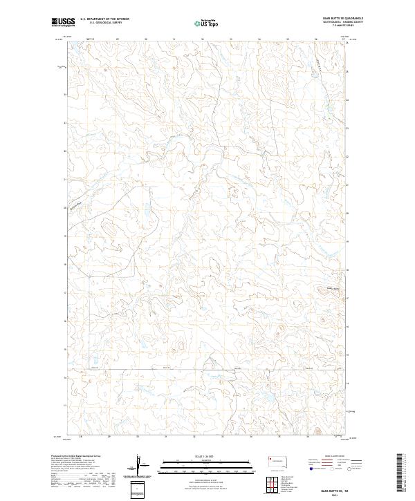
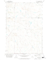
2021 Map of Bams Butte SE
USGS Topo · Published 2021About this map
The N Fork Moreau River winds through this Harding County landscape, carving a complex network of drainages across the high plains of South Dakota. The terrain is defined by its watercourses, from the prominent Wolf Cr and Cowboy Cr to smaller features like Swallow Draw and Goose Cr. This 2021 survey illustrates a sparsely settled region where transportation is limited to essential thoroughfares like Redig Rd and specialized routes such as the Limpert Fire Trl. Above the river valleys, landmarks like Saddle Butte rise as distinct navigational points. The map provides a contemporary view of this rangeland, tracing the hydrology of Red Butte Cr and Granger Cr within the established township and range system of Northwest South Dakota.
Find a feature on this map
14 named features on this map. Tap any name to fly to it.
Don’t see what you’re looking for? This feature index may not catch every label — zoom into the map to look around manually.
Map Details
Editions of this 2021 Bams Butte SE Map
This is the sole edition of this map. No revisions or reprints were ever made.
Other maps of this area

1935 · Hoover
USGS Topo · 1:125,000

1954 · Lemmon
USGS Topo · 1:250,000

1957 · Lemmon
USGS Topo · 1:250,000

1968 · Irish Butte
USGS Topo · 1:24,000

1968 · J B Hill
USGS Topo · 1:24,000

1973 · Lone Tree Draw East
USGS Topo · 1:24,000
1977 · Granger Creek
USGS Topo · 1:24,000
1978 · Bams Butte NW
USGS Topo · 1:24,000
1978 · Bams Butte
USGS Topo · 1:24,000
1978 · Porter Creek
USGS Topo · 1:24,000