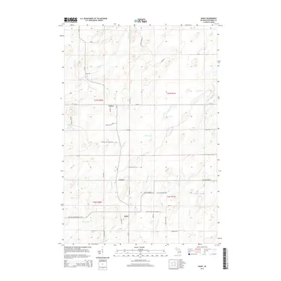
2014 Map of Banat
USGS Topo · Published 2014About this map
Banat and the surrounding timber and agricultural lands of Menominee County are defined by a dense network of river systems and rural county roads. The Shakey River winds through the central portion of the landscape, joined by tributaries like Little Shakey Cr and Rosebush Cr. This 2014 survey reveals a transition from the structured township grids of t36n r28w and t37n r28w to the more varied terrain of the Little Cedar River valley.
Find a feature on this map
49 named features on this map. Tap any name to fly to it.
Don’t see what you’re looking for? This feature index may not catch every label — zoom into the map to look around manually.
Map Details
Editions of this 2014 Banat Map
This is the sole edition of this map. No revisions or reprints were ever made.
Other maps of this area

1939 · Pembine
USGS Topo · 1:48,000

1942 · Wausaukee
USGS Topo · 1:48,000

1947 · Pembine
USGS Topo · 1:48,000

1947 · Wausaukee
USGS Topo · 1:48,000

1949 · Stephenson
USGS Topo · 1:48,000

1954 · Escanaba
USGS Topo · 1:250,000

1957 · Escanaba
USGS Topo · 1:250,000

1958 · Escanaba
USGS Topo · 1:250,000

1963 · Pembine
USGS Topo · 1:62,500

1963 · Powers
USGS Topo · 1:62,500