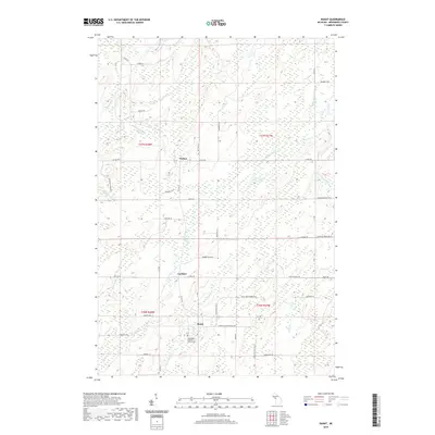
2019 Map of Banat
USGS Topo · Published 2019About this map
Banat serves as a focal point for this rural Menominee County landscape, situated near the intersection of Cheese Factory Rd No 2775 and Snow Road No 29. The area's spiritual and genealogical history is anchored by the Holy Rosary Catholic Church Cem, located south of the main settlement. Further north, the small communities of Nathan and Gardner are connected by a network of timber and section roads, reflecting the region's enduring agricultural and logging character.
Find a feature on this map
59 named features on this map. Tap any name to fly to it.
Don’t see what you’re looking for? This feature index may not catch every label — zoom into the map to look around manually.
Map Details
Editions of this 2019 Banat Map
This is the sole edition of this map. No revisions or reprints were ever made.
Other maps of this area

1939 · Pembine
USGS Topo · 1:48,000

1942 · Wausaukee
USGS Topo · 1:48,000

1947 · Pembine
USGS Topo · 1:48,000

1947 · Wausaukee
USGS Topo · 1:48,000

1949 · Stephenson
USGS Topo · 1:48,000

1954 · Escanaba
USGS Topo · 1:250,000

1957 · Escanaba
USGS Topo · 1:250,000

1958 · Escanaba
USGS Topo · 1:250,000

1963 · Pembine
USGS Topo · 1:62,500

1963 · Powers
USGS Topo · 1:62,500