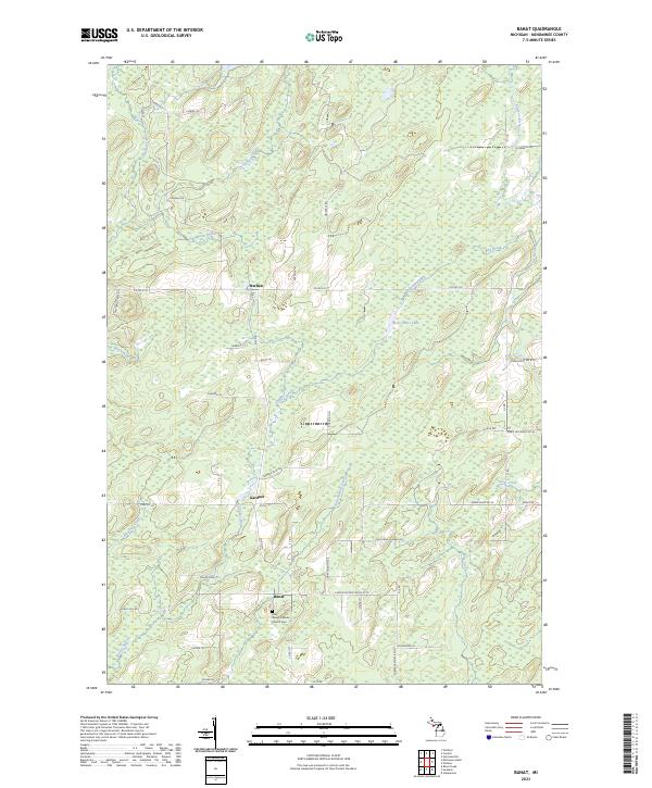
2023 Map of Banat
USGS Topo · Published 2023About this map
Banat and the surrounding township in Menominee County reflect a remote agricultural and forestry landscape defined by the drainage of the Shakey River and its numerous tributaries. Settled in the early 20th century by Austro-Hungarian immigrants, the village remains centered around the Holy Rosary Catholic Church Cem, a primary landmark for local genealogy. The map details a network of rural roads such as Cheese Factory Rd No 27.75, hinting at the area's former dairy-focused economy.
Find a feature on this map
58 named features on this map. Tap any name to fly to it.
Don’t see what you’re looking for? This feature index may not catch every label — zoom into the map to look around manually.
Map Details
Editions of this 2023 Banat Map
This is the sole edition of this map. No revisions or reprints were ever made.
Other maps of this area

1939 · Pembine
USGS Topo · 1:48,000

1942 · Wausaukee
USGS Topo · 1:48,000

1947 · Pembine
USGS Topo · 1:48,000

1947 · Wausaukee
USGS Topo · 1:48,000

1949 · Stephenson
USGS Topo · 1:48,000

1954 · Escanaba
USGS Topo · 1:250,000

1957 · Escanaba
USGS Topo · 1:250,000

1958 · Escanaba
USGS Topo · 1:250,000

1963 · Pembine
USGS Topo · 1:62,500

1963 · Powers
USGS Topo · 1:62,500