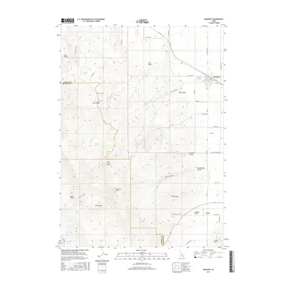
2017 Map of Bancroft
USGS Topo · Published 2017About this map
Bancroft serves as the primary hub in this southeastern Idaho landscape, situated along Old Hwy 30 where the high desert meets the rising elevations of the Fish Creek Range. The settlement pattern reflects a reliance on managed water and mountain runoff, evidenced by the presence of the W Br Canal and numerous named water sources like School House Spring and Railroad Spring. To the south, the village of Lund sits near the base of Buckskin Mtn, surrounded by a network of family-named canyons and rural roads that delineate the local geography.
Find a feature on this map
54 named features on this map. Tap any name to fly to it.
Don’t see what you’re looking for? This feature index may not catch every label — zoom into the map to look around manually.
Map Details
Editions of this 2017 Bancroft Map
This is the sole edition of this map. No revisions or reprints were ever made.
Other maps of this area

1917 · Portneuf
USGS Topo · 1:62,500

1948 · Bancroft
USGS Topo · 1:62,500

1949 · Bancroft
USGS Topo · 1:62,500

1954 · Pocatello
USGS Topo · 1:250,000

1955 · Preston
USGS Topo · 1:250,000

1958 · Pocatello
USGS Topo · 1:250,000

1958 · Preston
USGS Topo · 1:250,000

1962 · Preston
USGS Topo · 1:250,000

1968 · Bear Camp Gulch
USGS Topo · 1:24,000

1968 · Lava Hot Springs
USGS Topo · 1:24,000