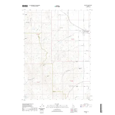
2020 Map of Bancroft
USGS Topo · Published 2020About this map
Bancroft serves as the primary settlement on this Idaho landscape, where the grid of Main St S and Cemetery Rd meets the legacy of high-altitude water management. The terrain is defined by the sharp transition from the valley floors to the Fish Creek Range, dominated by the prominent Petticoat Peak. This area is particularly rich in named water sources, with vital landmarks like Milkshake Spring, School House Spring, and Railroad Spring scattered across the draws of the mountains.
Find a feature on this map
56 named features on this map. Tap any name to fly to it.
Don’t see what you’re looking for? This feature index may not catch every label — zoom into the map to look around manually.
Map Details
Editions of this 2020 Bancroft Map
This is the sole edition of this map. No revisions or reprints were ever made.
Other maps of this area

1917 · Portneuf
USGS Topo · 1:62,500

1948 · Bancroft
USGS Topo · 1:62,500

1949 · Bancroft
USGS Topo · 1:62,500

1954 · Pocatello
USGS Topo · 1:250,000

1955 · Preston
USGS Topo · 1:250,000

1958 · Pocatello
USGS Topo · 1:250,000

1958 · Preston
USGS Topo · 1:250,000

1962 · Preston
USGS Topo · 1:250,000

1968 · Bear Camp Gulch
USGS Topo · 1:24,000

1968 · Lava Hot Springs
USGS Topo · 1:24,000