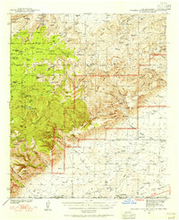
1940 Map of Bandanna Point
USGS Topo · Published 1966About this map
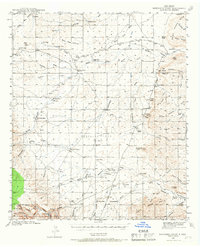
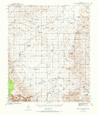
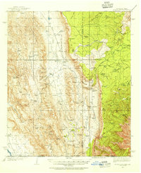
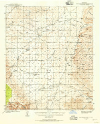
The Seven Rivers Hills and the rugged expanse of the Hess Hills define this southeastern New Mexico landscape, surveyed just before the United States entered World War II. This territory is characterized by a network of ephemeral watercourses and vital ranching outposts, including the Tatman Ranch in the north and the Mendoza Ranch near the center of the quadrangle. The dependence on sparse water sources is evident in the naming of features like Stinking Draw, Tule Well, and the Tin Henry Well, which sustained the local livestock economy.
Find a feature on this map
78 named features on this map. Tap any name to fly to it.
Don’t see what you’re looking for? This feature index may not catch every label — zoom into the map to look around manually.
Map Details
Editions of this 1940 Bandanna Point Map
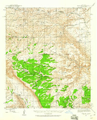
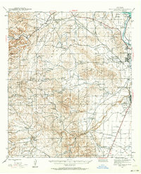
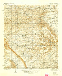
Other maps of this area
1935 · El Paso Gap
USGS Topo · 1:62,500

1936 · El Paso Gap
USGS Topo · 1:48,000

1940 · El Paso Gap
USGS Topo · 1:62,500
1940 · Bandanna Point
USGS Topo · 1:62,500
1940 · Carlsbad Caverns West
USGS Topo · 1:62,500

1943 · Carlsbad Caverns West
USGS Topo · 1:62,500

1943 · Bandanna Point
USGS Topo · 1:62,500
1943 · Texas Hill
USGS Topo · 1:62,500
1943 · West Carlsbad
USGS Topo · 1:62,500
1945 · Texas Hill
USGS Topo · 1:62,500