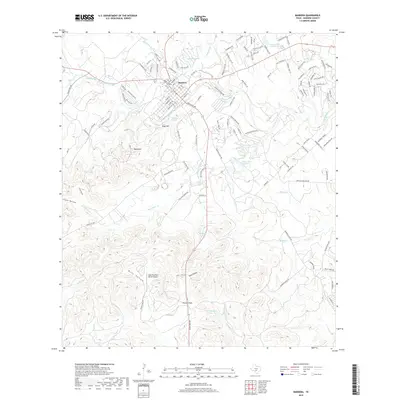
2019 Map of Bandera
USGS Topo · Published 2019About this map
Bandera sits at the heart of this Texas Hill Country landscape, where the Medina River carves a winding path through complex limestone topography. The 2019 survey documents a mix of traditional ranching terrain and modern recreational development. To the north, Lake Hiawatha and Conoco Lake Number 1 are surrounded by a dense network of suburban-style residential streets, while the southern half of the map remains defined by broader geographical features like Potato Flats and Mule Hollow. The map highlights numerous natural water sources critical to the region's character, including Dripping Springs, Kindle Spring, and Mansfield Spring. Significant elevation changes are marked by Town Mtn and Rugh Hill, providing a detailed look at the local relief. Smaller waterways such as San Julian Cr and Bruins Cr drain the uplands, feeding into the larger river system that has shaped the settlement patterns of Bandera County for generations.
Find a feature on this map
132 named features on this map. Tap any name to fly to it.
Don’t see what you’re looking for? This feature index may not catch every label — zoom into the map to look around manually.
Map Details
Editions of this 2019 Bandera Map
This is the sole edition of this map. No revisions or reprints were ever made.
Other maps of this area

1954 · San Antonio
USGS Topo · 1:250,000

1956 · Comfort
USGS Topo · 1:62,500

1956 · Bandera
USGS Topo · 1:62,500

1956 · Medina Lake
USGS Topo · 1:62,500

1956 · Center Point
USGS Topo · 1:62,500

1957 · San Antonio
USGS Topo · 1:250,000

1964 · Bandera
USGS Topo · 1:24,000

1964 · Timber Creek
USGS Topo · 1:24,000

1964 · Rock Cliff Reservoir
USGS Topo · 1:24,000

1964 · Medina Lake
USGS Topo · 1:24,000