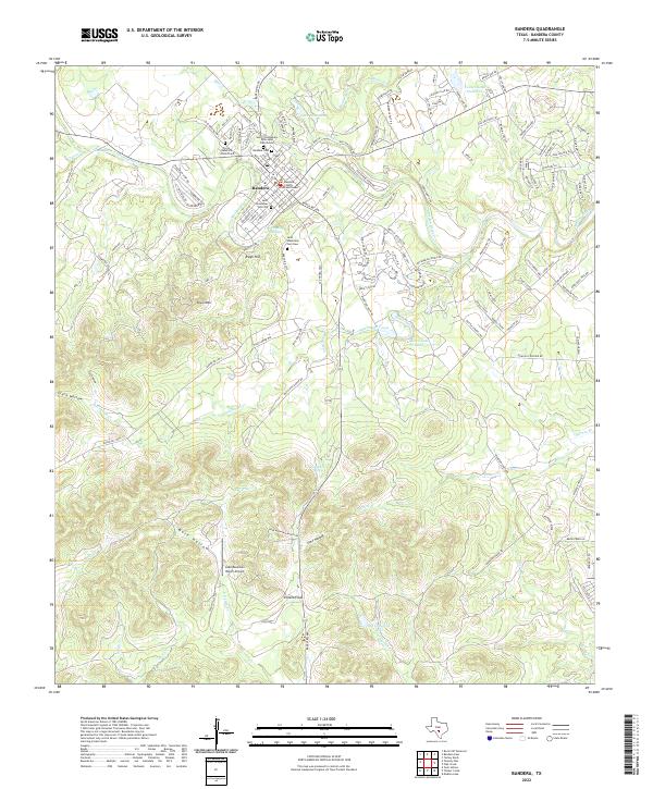
2022 Map of Bandera
USGS Topo · Published 2022About this map
The Medina River snakes through the heart of the Texas Hill Country in this modern survey, defining the development and topography of Bandera. This region, traditionally known as the Cowboy Capital of the World, maintains a landscape where ranching heritage and community history are closely preserved. The map provides significant detail for genealogists, marking several historic burial grounds including the Bandera Cem, Saint Stanislaus Cem New, and the older Saint Stanislaus Cem Old located near the town center.
Find a feature on this map
143 named features on this map. Tap any name to fly to it.
Don’t see what you’re looking for? This feature index may not catch every label — zoom into the map to look around manually.
Map Details
Editions of this 2022 Bandera Map
This is the sole edition of this map. No revisions or reprints were ever made.
Other maps of this area

1954 · San Antonio
USGS Topo · 1:250,000

1956 · Comfort
USGS Topo · 1:62,500

1956 · Bandera
USGS Topo · 1:62,500

1956 · Medina Lake
USGS Topo · 1:62,500

1956 · Center Point
USGS Topo · 1:62,500

1957 · San Antonio
USGS Topo · 1:250,000

1964 · Bandera
USGS Topo · 1:24,000

1964 · Timber Creek
USGS Topo · 1:24,000

1964 · Rock Cliff Reservoir
USGS Topo · 1:24,000

1964 · Medina Lake
USGS Topo · 1:24,000