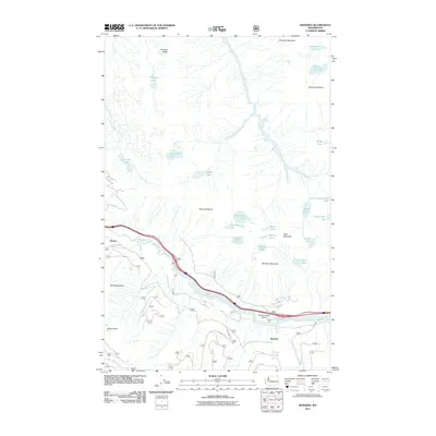
2011 Map of Bandera
USGS Topo · Published 2011About this map
South Fork Snoqualmie River carves a deep path through this high-elevation landscape, anchoring the limited human settlements at Bandera and Garcia. The 2011 topography reveals a corridor dominated by transport and recreation, where the Bandera State Airport and Camp Joy sit in the shadow of massive peaks like Bandera Mountain and McClellan Butte. The surrounding highlands are dense with alpine water bodies, including the clusters of Mason Lake, Thompson Lake, and Olallie Lake, reflecting a region defined by its complex hydrology and steep vertical relief. Detailed road notations such as NFD 9020-1 RD trace the access points into the high country, where peaks like Mount Defiance and Mount Roosevelt loom over numerous smaller basins like Lake Kulla Kulla and Talapus Lake.
Find a feature on this map
54 named features on this map. Tap any name to fly to it.
Don’t see what you’re looking for? This feature index may not catch every label — zoom into the map to look around manually.
Map Details
Editions of this 2011 Bandera Map
This is the sole edition of this map. No revisions or reprints were ever made.
Other maps of this area

1901 · Snoqualmie Pass
USGS Topo · 1:125,000

1902 · Skykomish
USGS Topo · 1:125,000

1903 · Snoqualmie
USGS Topo · 1:125,000

1905 · Skykomish
USGS Topo · 1:125,000

1913 · Cedar Lake
USGS Topo · 1:125,000

1921 · Sultan
USGS Topo · 1:125,000

1923 · Sultan
USGS Topo · 1:125,000

1957 · Wenatchee
USGS Topo · 1:250,000

1960 · Mount Si
USGS Topo · 1:62,500

1960 · Bandera
USGS Topo · 1:62,500