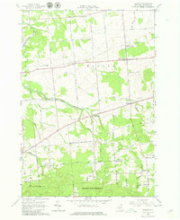
1964 Map of Bangor
USGS Topo · Published 1980About this map
North Bangor and the surrounding township of Bangor are defined by the winding course of the Little Salmon River and an extensive network of local roads that reflect a deeply rooted agricultural and rural community. The landscape transitioned during this mid-century period as the railroad lines became Abandoned, though local hubs like Bangor Station and Brandon Center remained as focal points. In the southern portion of the quadrangle, the terrain rises into the more heavily wooded reaches of Franklin State Forest No 1, contrasting with the more open valley floor to the north.
Find a feature on this map
62 named features on this map. Tap any name to fly to it.
Don’t see what you’re looking for? This feature index may not catch every label — zoom into the map to look around manually.
Map Details
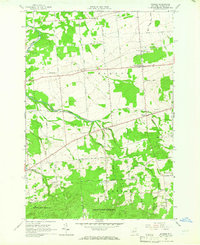
Editions of this 1964 Bangor Map
2 editions found
Other maps of this area

1915 · Malone
USGS Topo · 1:62,500

1915 · Moira
USGS Topo · 1:62,500

1917 · Malone
USGS Topo · 1:62,500

1917 · Moira
USGS Topo · 1:62,500

1919 · Nicholville
USGS Topo · 1:62,500

1921 · Nicholville
USGS Topo · 1:62,500

1921 · Santa Clara
USGS Topo · 1:62,500

1923 · Santa Clara
USGS Topo · 1:62,500

1944 · Moira
USGS Topo · 1:62,500

1948 · Ogdensburg
USGS Topo · 1:250,000