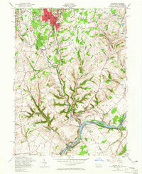
1956 Map of Bangor
USGS Topo · Published 1966About this map
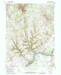
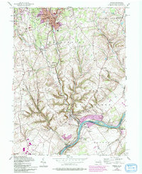
Bangor, Roseto, and Pen Argyl form a dense industrial and residential cluster in the northern reaches of this mid-1950s survey. The landscape is defined by the heavy presence of extractive industry, particularly the numerous Quarries and gravel pits that follow the geological contours of the region. Transportation networks are central to the area's development, with the Delaware Lackawanna and Western RR and the Lehigh and New England RR threading through the valleys to serve these local operations.
Find a feature on this map
59 named features on this map. Tap any name to fly to it.
Don’t see what you’re looking for? This feature index may not catch every label — zoom into the map to look around manually.
Map Details
Editions of this 1956 Bangor Map
6 editions found
Other maps of this area

1890 · Easton
USGS Topo · 1:62,500

1891 · Easton
USGS Topo · 1:62,500

1891 · Delaware Water Gap
USGS Topo · 1:62,500

1893 · Delaware Water Gap
USGS Topo · 1:62,500

1894 · Allentown
USGS Topo · 1:62,500

1914 · Wind Gap
USGS Topo · 1:62,500

1916 · Wind Gap
USGS Topo · 1:62,500

1932 · Easton
USGS Topo · 1:62,500

1936 · Delaware Water Gap
USGS Topo · 1:48,000

1939 · Allentown
USGS Topo · 1:62,500