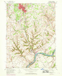
1956 Map of Bangor
USGS Topo · Published 1969About this map
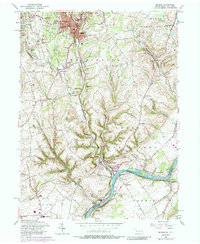
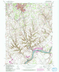
Industrial quarries and a dense network of rail lines define this mid-century landscape in Northampton County, Pennsylvania. The burgeoning borough of Bangor is shown alongside the adjacent communities of Roseto and Pen Argyl, where multiple slate quarries and the Erie Lackawanna railroad signify the region's productive era. To the south, the terrain descends toward the Delaware River, passing through rural townships like Lower Mount Bethel and Washington.
Find a feature on this map
61 named features on this map. Tap any name to fly to it.
Don’t see what you’re looking for? This feature index may not catch every label — zoom into the map to look around manually.
Map Details
Editions of this 1956 Bangor Map
6 editions found
Other maps of this area

1890 · Easton
USGS Topo · 1:62,500

1891 · Easton
USGS Topo · 1:62,500

1891 · Delaware Water Gap
USGS Topo · 1:62,500

1893 · Delaware Water Gap
USGS Topo · 1:62,500

1894 · Allentown
USGS Topo · 1:62,500

1914 · Wind Gap
USGS Topo · 1:62,500

1916 · Wind Gap
USGS Topo · 1:62,500

1932 · Easton
USGS Topo · 1:62,500

1936 · Delaware Water Gap
USGS Topo · 1:48,000

1939 · Allentown
USGS Topo · 1:62,500