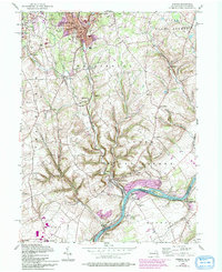
1956 Map of Bangor
USGS Topo · Published 1994About this map
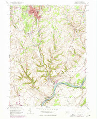
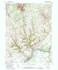
Industrial slate and limestone extraction sites define the northern reaches of this landscape near Bangor and Pen Argyl, where numerous quarries dot the terrain above Waltz Creek. This mid-century revision captures the complex rail infrastructure required to support these operations, including the Erie Lackawanna RR and the strategic junction at Martins Creek Jct. Further south, the landscape transitions into the steep ridges of Lower Mount Bethel before meeting the Delaware River at the Pennsylvania-New Jersey border. Small, concentrated settlements such as Flicksville, Ackermanville, and Factoryville are linked by local roads and township schools. The river itself is a focal point for local geography, featuring Keifer Island and the riverside community of Brainards. Local history is well-preserved through numerous institutional landmarks, including Stone Church Cem and the Kingdom Hall Ch in the borough.
Find a feature on this map
58 named features on this map. Tap any name to fly to it.
Don’t see what you’re looking for? This feature index may not catch every label — zoom into the map to look around manually.
Map Details
Editions of this 1956 Bangor Map
6 editions found
Other maps of this area

1890 · Easton
USGS Topo · 1:62,500

1891 · Easton
USGS Topo · 1:62,500

1891 · Delaware Water Gap
USGS Topo · 1:62,500

1893 · Delaware Water Gap
USGS Topo · 1:62,500

1894 · Allentown
USGS Topo · 1:62,500

1914 · Wind Gap
USGS Topo · 1:62,500

1916 · Wind Gap
USGS Topo · 1:62,500

1932 · Easton
USGS Topo · 1:62,500

1936 · Delaware Water Gap
USGS Topo · 1:48,000

1939 · Allentown
USGS Topo · 1:62,500