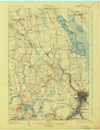
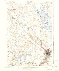
1902 Map of Bangor
USGS Topo · Published 1925About this map
The Penobscot River serves as the industrial heart of this Maine region, anchored by the dense street grid of Bangor and its connection to South Brewer and Orrington. In the early 1900s, the landscape is defined by the convergence of water power and rail, with the Maine Central R. R. and a prominent Electric line connecting the outlying town centers. The survey reveals a web of small crossroads settlements like Leather Corner, Snow Corner, and Robyville, which were critical local hubs before the consolidation of modern transit. To the north, the massive expanse of Pushaw Lake is dotted with named islands such as Harwood I. and Moose I., while the Kenduskeag Stream meanders through the central valley past Sixmile Falls. This map documents a period of transition where the timber and river trade met the growing influence of the railroad and electric trolley systems.
Find a feature on this map
63 named features on this map. Tap any name to fly to it.
Don’t see what you’re looking for? This feature index may not catch every label — zoom into the map to look around manually.
Map Details
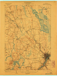
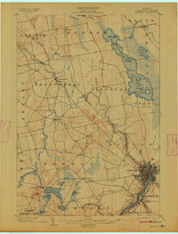
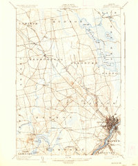
Editions of this 1902 Bangor Map
6 editions found
Other maps of this area

1900 · Orland
USGS Topo · 1:62,500

1900 · Bucksport
USGS Topo · 1:62,500

1902 · Orono
USGS Topo · 1:62,500

1902 · Bucksport
USGS Topo · 1:62,500

1902 · Bangor
USGS Topo · 1:62,500

1917 · Passadumkeag
USGS Topo · 1:62,500

1931 · Stetson
USGS Topo · 1:48,000

1932 · Brooks
USGS Topo · 1:62,500

1932 · Dover-Foxcroft
USGS Topo · 1:48,000

1933 · Boyd Lake
USGS Topo · 1:62,500