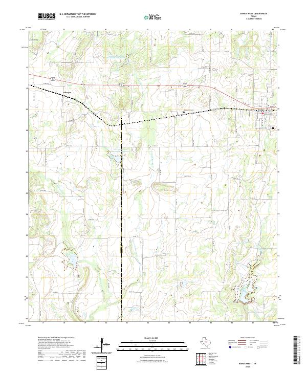
2022 Map of Bangs West
USGS Topo · Published 2022About this map
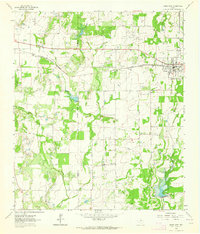
Bangs serves as the primary hub for this portion of the Texas landscape, situated at the intersection of a developed street grid and several regional corridors. The town's layout is contrasted by the rural settlement of Obregon to the west, where the Coleman Co Brown Co line divides the ranching and agricultural lands. Water management is a defining feature of the local topography, evidenced by the Soil Conservation Service Site 7 Reservoir and Soil Conservation Service Site 6 Reservoir, which capture runoff from the E Fork Mukewater Cr. These man-made features, alongside Owens Lake, highlight the region's reliance on water conservation for land use. Genealogists and local historians will find the Bangs Cem and Mukewater Cem as significant landmarks for tracing family lineages near the prominent Cedar Ridge landform.
Find a feature on this map
72 named features on this map. Tap any name to fly to it.
Don’t see what you’re looking for? This feature index may not catch every label — zoom into the map to look around manually.
Map Details
Editions of this 2022 Bangs West Map
This is the sole edition of this map. No revisions or reprints were ever made.
Other maps of this area

1887 · Coleman
USGS Topo · 1:125,000

1889 · Coleman
USGS Topo · 1:125,000

1924 · Brownwood Reservoir Site
USGS Topo · 1:48,000

1927 · Grosvenor
USGS Topo · 1:62,500

1954 · Brownwood
USGS Topo · 1:250,000
1962 · Speck Mountain
USGS Topo · 1:24,000
1962 · Trickham
USGS Topo · 1:24,000
1962 · Bangs East
USGS Topo · 1:24,000

1962 · Santa Anna
USGS Topo · 1:24,000
1962 · Bangs West
USGS Topo · 1:24,000