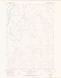
1966 Map of Banjo Flats West
USGS Topo · Published 1978About this map
Upper Hanover Canal and Lower Hanover Canal dominate this landscape, illustrating the complex irrigation systems essential to agricultural life in Washakie County. The arid terrain of Banjo Flats and South Flat is carved by seasonal waterways like Nowater Creek and Sage Creek, which drain toward the prominent Bighorn River corridor in the west. This mid-1960s perspective captures a moment of transition, showing established infrastructure such as the Burlington Northern railroad alongside the growing Worland Municipal Airport. Aviation and communication landmarks, including a Radio Tower and Airway Beacon, stand as prominent features of the high desert. Local operations are evidenced by the Banjo Ranch and scattered utilities like a Pumping Sta and various reservoirs such as Sore Paw Reservoir.
Find a feature on this map
31 named features on this map. Tap any name to fly to it.
Don’t see what you’re looking for? This feature index may not catch every label — zoom into the map to look around manually.
Map Details
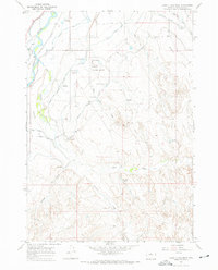
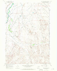
Editions of this 1966 Banjo Flats West Map
3 editions found
Other maps of this area

1945 · Kirby
USGS Topo · 1:62,500

1946 · Kirby
USGS Topo · 1:62,500

1951 · Schuster Flats SE
USGS Topo · 1:24,000

1955 · Cody
USGS Topo · 1:250,000

1955 · Thermopolis
USGS Topo · 1:250,000

1955 · Sheridan
USGS Topo · 1:250,000

1955 · Arminto
USGS Topo · 1:250,000

1958 · Cody
USGS Topo · 1:250,000

1958 · Thermopolis
USGS Topo · 1:250,000

1958 · Sheridan
USGS Topo · 1:250,000