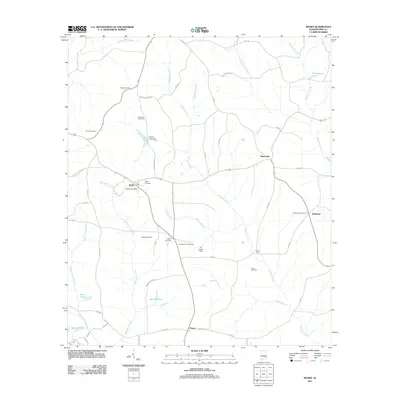
2011 Map of Banks
USGS Topo · Published 2011About this map
Banks serves as a central hub in this corner of Alabama, where the Banks Post Office and Banks Cemetery anchor a landscape defined by small settlements and family burial grounds. The area is intersected by several watercourses including Richland Creek and Whitewater Creek, which flow through a terrain marked by distinctive local names like Devil Neck. Genealogists will find a high density of family-named landmarks such as Hussey Cemetery, Alexander Cemetery, and Wilson Cemetery, alongside community centers like the Jerusalem Campground. These features reflect a deeply rooted rural society that has maintained its geographic identity through the decades. Further east, the settlements of Monticello and Buckhorn are connected by a network of county roads, while to the south, the village of Pronto sits near Wilsons Pond and Holmes Pond. This 2011 survey documents a community where legacy and land remain closely intertwined.
Find a feature on this map
56 named features on this map. Tap any name to fly to it.
Don’t see what you’re looking for? This feature index may not catch every label — zoom into the map to look around manually.
Map Details
Editions of this 2011 Banks Map
This is the sole edition of this map. No revisions or reprints were ever made.
Other maps of this area

1948 · Brundidge
USGS Topo · 1:62,500

1950 · Brundidge
USGS Topo · 1:62,500

1953 · Dothan
USGS Topo · 1:250,000

1954 · Dothan
USGS Topo · 1:250,000

1955 · Dothan
USGS Topo · 1:250,000

1960 · Brundidge
USGS Topo · 1:24,000

1960 · Brundidge NW
USGS Topo · 1:24,000

1962 · Brundidge
USGS Topo · 1:25,000
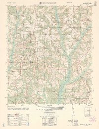
1962 · Brundidge NW
USGS Topo · 1:25,000

1968 · Perote
USGS Topo · 1:24,000