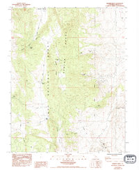
1984 Map of Banner Ridge
USGS Topo · Published 1994About this map
Mining operations and remote springs define this mid-1980s landscape across the Benton Range and Inyo National Forest. The map documents a high density of mineral claims and workings, including the Black Rock Mine to the east and the Wildrose Mine tucked into Wildrose Canyon. These sites are linked by a network of unimproved roads and the prominent Wildrose Grade, reflecting the area's history of exploration and extraction. Water sources are critical landmarks in this arid high-country terrain, with Banner Springs and Moran Spring providing necessary relief for travelers and stock. Along the western edge, Watterson Meadow offers a rare break in the topography. Tracing the routes from Benton Crossing Road through Chidago Canyon, the map reveals the complex geography of the Banner Ridge corridor and its numerous secondary workings like the Gold Crown Mine and Sierra Vista Mine.
Find a feature on this map
30 named features on this map. Tap any name to fly to it.
Don’t see what you’re looking for? This feature index may not catch every label — zoom into the map to look around manually.
Map Details
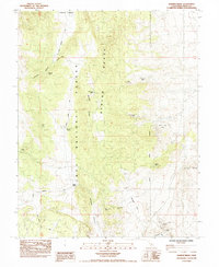
Editions of this 1984 Banner Ridge Map
2 editions found
Other maps of this area

1914 · Mt. Morrison
USGS Topo · 1:125,000

1917 · White Mountain
USGS Topo · 1:125,000

1947 · Mariposa
USGS Topo · 1:250,000

1948 · Mariposa
USGS Topo · 1:250,000

1953 · Casa Diablo Mtn
USGS Topo · 1:62,500

1957 · Mariposa
USGS Topo · 1:250,000

1962 · Benton
USGS Topo · 1:62,500

1962 · Glass Mountain
USGS Topo · 1:62,500

1962 · White Mtn. Peak
USGS Topo · 1:62,500

1963 · Mariposa
USGS Topo · 1:250,000