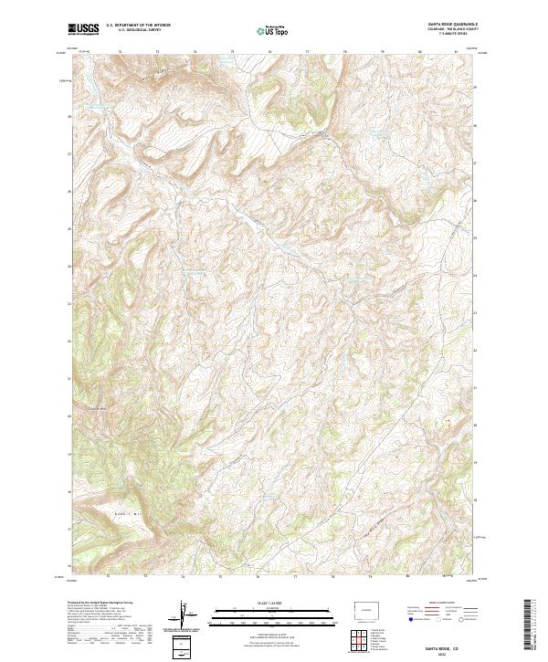
2022 Map of Banta Ridge
USGS Topo · Published 2022About this map
Banta Ridge and the Gilsonite Hills define this high-desert landscape in northwestern Colorado, where water management is the primary driver of development. A series of catchment systems, including the Lower Cottonwood Reservoir, Middle Cottonwood Reservoir, and Upper Cottonwood Reservoir, are positioned along Cottonwood Cr to manage the area's scarce resources. To the north, the Banta Flats Reservoir sits near the head of the ridge, while the southern terrain is dominated by the prominent elevation of Rabbit Mtn. The transport network consists of rural routes like Cottonwood Rd and Rangely Dragon Rd, which navigate between drainage features like Big Horse Draw and Shavetail Wash. This 2022 survey illustrates the modern configuration of ranching and resource infrastructure in a remote section of Rio Blanco County.
Find a feature on this map
22 named features on this map. Tap any name to fly to it.
Don’t see what you’re looking for? This feature index may not catch every label — zoom into the map to look around manually.
Map Details
Editions of this 2022 Banta Ridge Map
This is the sole edition of this map. No revisions or reprints were ever made.
Other maps of this area

1885 · East Tavaputs
USGS Topo · 1:250,000

1885 · Ashley
USGS Topo · 1:250,000

1907 · Rangely
USGS Topo · 1:125,000

1907 · Jensen
USGS Topo · 1:125,000

1910 · Jensen
USGS Topo · 1:125,000

1910 · Rangely
USGS Topo · 1:125,000

1954 · Vernal
USGS Topo · 1:250,000

1956 · Grand Junction
USGS Topo · 1:250,000

1958 · Vernal
USGS Topo · 1:250,000

1959 · Grand Junction
USGS Topo · 1:250,000