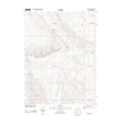
2013 Map of Banty Point
USGS Topo · Published 2013About this map
The White River winds through this high-desert landscape, creating a central corridor through the complex topography of Rio Blanco County. The map captures an area defined by its energy history and drainage patterns, specifically within the Rangely Oil Field and the surrounding Coal Oil Basin. Evidence of industrial presence is visible through the location of worker outposts such as California Camp and Texas Camp in the northern portion of the quadrangle.
Find a feature on this map
22 named features on this map. Tap any name to fly to it.
Don’t see what you’re looking for? This feature index may not catch every label — zoom into the map to look around manually.
Map Details
Editions of this 2013 Banty Point Map
This is the sole edition of this map. No revisions or reprints were ever made.
Other maps of this area

1885 · East Tavaputs
USGS Topo · 1:250,000

1885 · Ashley
USGS Topo · 1:250,000

1907 · Rangely
USGS Topo · 1:125,000

1907 · Jensen
USGS Topo · 1:125,000

1910 · Jensen
USGS Topo · 1:125,000

1910 · Rangely
USGS Topo · 1:125,000

1954 · Vernal
USGS Topo · 1:250,000

1956 · Grand Junction
USGS Topo · 1:250,000

1958 · Vernal
USGS Topo · 1:250,000

1959 · Grand Junction
USGS Topo · 1:250,000