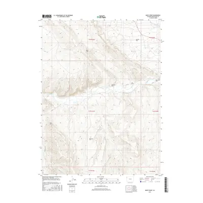
2016 Map of Banty Point
USGS Topo · Published 2016About this map
The White River carves a deep valley through this corner of Rio Blanco County, defining a landscape dominated by complex drainage systems and high plateaus. In the northern reaches, the Coal Oil Basin and Raven Ridge suggest a geological character that has historically drawn interest for its resource potential. The terrain is marked by numerous seasonal waterways such as Shavetail Wash, Hardaway Draw, and Big Trujillo Wash, which descend toward the primary river corridor.
Find a feature on this map
20 named features on this map. Tap any name to fly to it.
Don’t see what you’re looking for? This feature index may not catch every label — zoom into the map to look around manually.
Map Details
Editions of this 2016 Banty Point Map
This is the sole edition of this map. No revisions or reprints were ever made.
Other maps of this area

1885 · East Tavaputs
USGS Topo · 1:250,000

1885 · Ashley
USGS Topo · 1:250,000

1907 · Rangely
USGS Topo · 1:125,000

1907 · Jensen
USGS Topo · 1:125,000

1910 · Jensen
USGS Topo · 1:125,000

1910 · Rangely
USGS Topo · 1:125,000

1954 · Vernal
USGS Topo · 1:250,000

1956 · Grand Junction
USGS Topo · 1:250,000

1958 · Vernal
USGS Topo · 1:250,000

1959 · Grand Junction
USGS Topo · 1:250,000