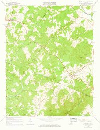
1964 Map of Barboursville
USGS Topo · Published 1965About this map
Barboursville and its surrounding Piedmont landscape are defined by the convergence of the Southern railroad and the Blue Run waterway during the mid-1960s. The village is anchored by historical landmarks including the Barbour Ruins and Knights Chapel, reflecting a deep-rooted settlement pattern along the Greene and Orange county line. To the northwest, Ruckersville serves as a local hub, featuring a mid-century Drive-in Theater and the Ruckersville Cem.
Find a feature on this map
46 named features on this map. Tap any name to fly to it.
Don’t see what you’re looking for? This feature index may not catch every label — zoom into the map to look around manually.
Map Details
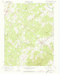
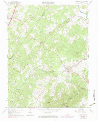
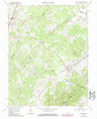
Editions of this 1964 Barboursville Map
4 editions found
Other maps of this area

1892 · Gordonsville
USGS Topo · 1:125,000

1930 · Madison
USGS Topo · 1:48,000

1933 · Madison
USGS Topo · 1:62,500

1935 · Charlottesville
USGS Topo · 1:62,500

1939 · Charlottesville
USGS Topo · 1:62,500

1949 · Charlottesville
USGS Topo · 1:250,000

1949 · Charlottesville
USGS Topo · 1:62,500

1956 · Charlottesville
USGS Topo · 1:250,000

1961 · Gordonsville
USGS Topo · 1:62,500

1961 · Rapidan
USGS Topo · 1:62,500