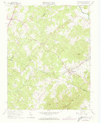
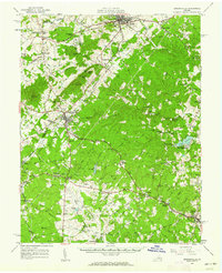
1964 Map of Barboursville
USGS Topo · Published 1973About this map
The Barboursville area of Central Virginia sits at a geographic crossroads where the Southern railroad tracks bisect the landscape below the Southwestern Mountains. This 1964 survey, with purple-ink revisions through 1972, documents a rural Piedmont community defined by its watercourses and small settlements. Along the banks of the Rapidan River and Marsh Run, the map reveals a high density of country churches and family landmarks, such as Union Grove Ch and the Thomas Cem.
Find a feature on this map
49 named features on this map. Tap any name to fly to it.
Don’t see what you’re looking for? This feature index may not catch every label — zoom into the map to look around manually.
Map Details
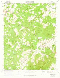
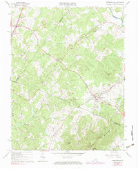
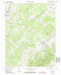
Editions of this 1964 Barboursville Map
4 editions found
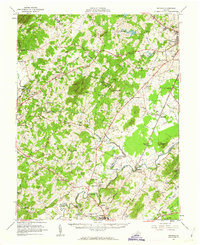
Other maps of this area

1892 · Gordonsville
USGS Topo · 1:125,000

1930 · Madison
USGS Topo · 1:48,000

1933 · Madison
USGS Topo · 1:62,500

1935 · Charlottesville
USGS Topo · 1:62,500

1939 · Charlottesville
USGS Topo · 1:62,500

1949 · Charlottesville
USGS Topo · 1:250,000

1949 · Charlottesville
USGS Topo · 1:62,500

1956 · Charlottesville
USGS Topo · 1:250,000
1961 · Gordonsville
USGS Topo · 1:62,500
1961 · Rapidan
USGS Topo · 1:62,500