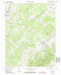
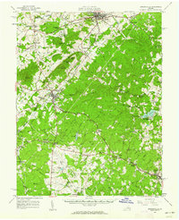
1964 Map of Barboursville
USGS Topo · Published 1986About this map
Barboursville and its surrounding countryside are captured in this mid-century survey at the meeting point of Orange, Greene, and Albemarle Counties. The landscape is dominated by the Southwest Mountains to the south, where heights like Goodlow Mtn and Peters Mtn overlook the rolling Piedmont. The Southern railroad line cuts through the heart of the region, passing through the village and near the notable Barbour Ruins, providing a glimpse into the area's architectural and transportation history.
Find a feature on this map
52 named features on this map. Tap any name to fly to it.
Don’t see what you’re looking for? This feature index may not catch every label — zoom into the map to look around manually.
Map Details
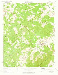
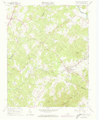
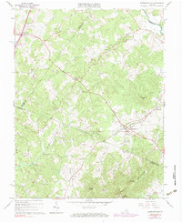
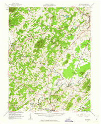
Editions of this 1964 Barboursville Map
4 editions found
Other maps of this area

1892 · Gordonsville
USGS Topo · 1:125,000

1930 · Madison
USGS Topo · 1:48,000

1933 · Madison
USGS Topo · 1:62,500

1935 · Charlottesville
USGS Topo · 1:62,500

1939 · Charlottesville
USGS Topo · 1:62,500

1949 · Charlottesville
USGS Topo · 1:250,000

1949 · Charlottesville
USGS Topo · 1:62,500

1956 · Charlottesville
USGS Topo · 1:250,000
1961 · Gordonsville
USGS Topo · 1:62,500
1961 · Rapidan
USGS Topo · 1:62,500