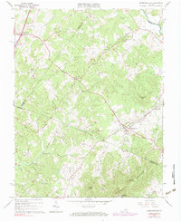
1964 Map of Barboursville
USGS Topo · Published 1977About this map
The rolling Piedmont landscape at the junction of Albemarle, Greene, and Orange Counties is anchored by the community of Barboursville, where the Southern railroad line follows the contours of the Southwest Mountains. This mid-century survey reveals a rural network of small settlements and faith centers, including Ruckersville and Newtown in the north and Eheart and Burnley to the south. Numerous houses of worship, such as Chestnut Grove Ch and Knights Chapel, are scattered among the ridges of Hendricks Mtn and Goodlow Mtn. The hydrology of the area is defined by Marsh Run and Blue Run, which drain into the Rapidan River at the northern edge of the quadrangle. A notable modern artifact of the era, the Drive-in Theater near Ruckersville, stands alongside traditional family landmarks like the Thomas Cem.
Find a feature on this map
45 named features on this map. Tap any name to fly to it.
Don’t see what you’re looking for? This feature index may not catch every label — zoom into the map to look around manually.
Map Details
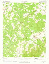
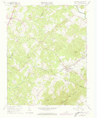
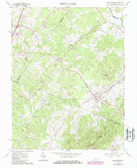
Editions of this 1964 Barboursville Map
4 editions found
Other maps of this area

1892 · Gordonsville
USGS Topo · 1:125,000

1930 · Madison
USGS Topo · 1:48,000

1933 · Madison
USGS Topo · 1:62,500

1935 · Charlottesville
USGS Topo · 1:62,500

1939 · Charlottesville
USGS Topo · 1:62,500

1949 · Charlottesville
USGS Topo · 1:250,000

1949 · Charlottesville
USGS Topo · 1:62,500

1956 · Charlottesville
USGS Topo · 1:250,000

1961 · Gordonsville
USGS Topo · 1:62,500

1961 · Rapidan
USGS Topo · 1:62,500