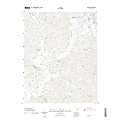
2019 Map of Barbourville
USGS Topo · Published 2019About this map
Barbourville serves as the focal point of this Knox County survey, situated where Richland Cr and Fighting Cr meet the Cumberland River. The town layout is clearly defined by local landmarks like Adam and Eve Cem and the Cumberland Gap Pkwy. The surrounding terrain is characterized by the river's winding path through Mackey Bend and the presence of numerous family cemeteries including the John W Campbell Cem, Hawn Cem, and Fuson Cem.
Find a feature on this map
129 named features on this map. Tap any name to fly to it.
Don’t see what you’re looking for? This feature index may not catch every label — zoom into the map to look around manually.
Map Details
Editions of this 2019 Barbourville Map
This is the sole edition of this map. No revisions or reprints were ever made.
Other maps of this area

1886 · Cumberland Gap
USGS Topo · 1:125,000

1888 · Cumberland Gap
USGS Topo · 1:125,000

1890 · Williamsburg
USGS Topo · 1:125,000

1891 · Cumberland Gap
USGS Topo · 1:125,000

1894 · Williamsburg
USGS Topo · 1:125,000

1952 · Corbin
USGS Topo · 1:24,000

1952 · Barbourville
USGS Topo · 1:24,000

1952 · Heidrick
USGS Topo · 1:24,000

1952 · Fount
USGS Topo · 1:24,000

1952 · Saxton
USGS Topo · 1:24,000